South End and the Rail Trail: Charlotte's Transit Experiment Grew Up
The Blue Line turned a warehouse district into the city's template for growth. Nineteen miles of light rail, 3.5 miles of trail, and the questions success brings.
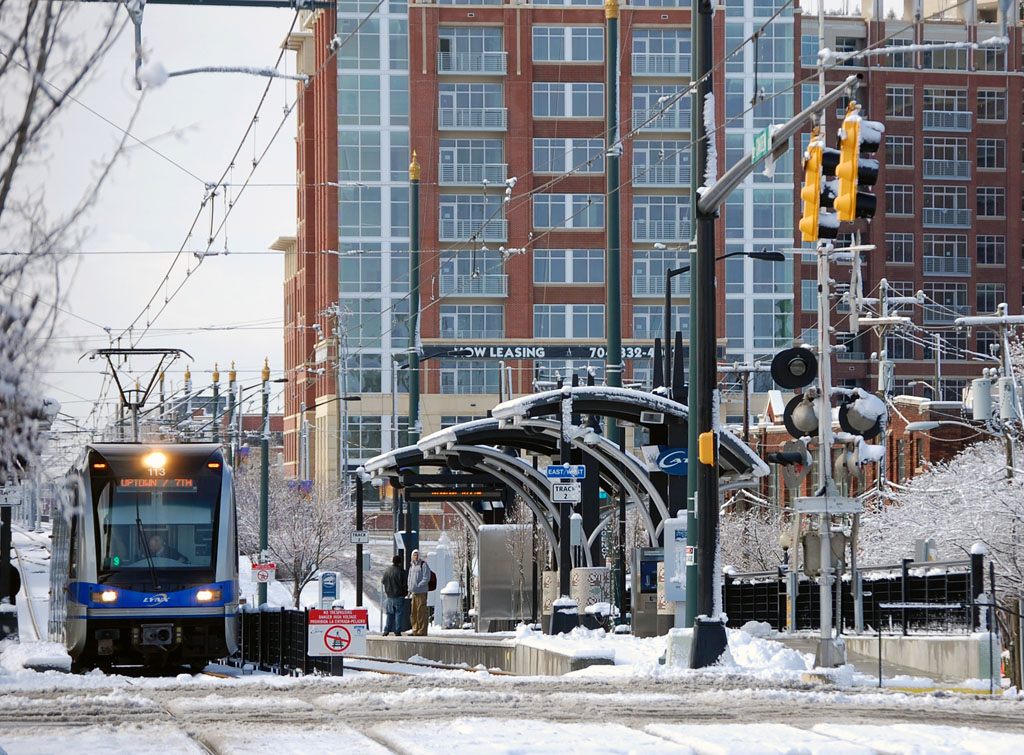
South End is what happened when Charlotte's first modern transit line met a corridor of warehouses. The LYNX Blue Line, which opened in 2007 as the first light-rail line in the Carolinas, runs from I-485 in the south through South End and Uptown to UNC Charlotte — 19.3 miles that restructured the city's development map along the old rail bed it follows.
South End was the proof of concept. The warehouses and industrial buildings along the line — a district once devoted to mills, foundries, and the Atherton Mill — filled with breweries, design firms, apartments, and restaurants at a pace that outran the planners' projections. The cranes became the neighborhood's skyline before the towers did.
The Rail Trail threads it together: a 3.5-mile shared path running alongside the tracks from South End toward Uptown, part commute route, part linear park, strung with public art, lighting installations, and the patios of the businesses that front it. It was not built all at once — it accumulated, segment by segment and grant by grant, which is why its character changes every few blocks.
The questions South End now argues about are the ones success brings: affordability pushed outward along the line, older industrial buildings giving way to towers, and the next phase of the Blue Line's own expansion — planned extensions that exist on maps and in funding debates more than in construction schedules. Transit-oriented development turns out to be a beginning, not an answer.
November evenings are the district in its element — patios under string lights, the trains sliding past every few minutes, the skyline framed at the trail's north end. South End was Charlotte's argument that a Southern banking city could grow around rails. Whatever comes next, the argument was won here.